Scarborough Bluffs
Guide to the Scarborough Bluffs: 15km of lakeside cliffs, Bluffer's Park beach, hiking trails, and how to get there without a car.
Quick facts
- Best base for
- Cliff views, photography, a quieter beach day
- Length
- Roughly 15km of shoreline cliffs
- Height
- Up to 90m at the highest points
- Best access point
- Bluffer's Park
Cliffs that don’t look like they belong in a city
The Scarborough Bluffs run for roughly 15 kilometres along Lake Ontario’s shoreline in the city’s east end, rising as high as 90 metres in places — a genuinely dramatic geological feature that catches most first-time visitors off guard, since nothing about the phrase “within Toronto city limits” prepares you for cliffs this scale. The bluffs formed from glacial deposits over 12,000 years ago and remain an active erosion zone, meaning the exact shape of the cliff face shifts gradually over time; this is also why access to the clifftop edges themselves is restricted in several spots, for genuine safety reasons rather than bureaucratic caution.
| Where | Scarborough, Toronto’s east end |
| Time needed | Half-day to full day |
| Getting there | Scarborough GO / TTC bus + walk, or car |
| Cost | Free (parking fees may apply at Bluffer’s Park) |
| Best time | June-September for the beach; sunrise year-round for light |
Bluffer’s Park: the main access point
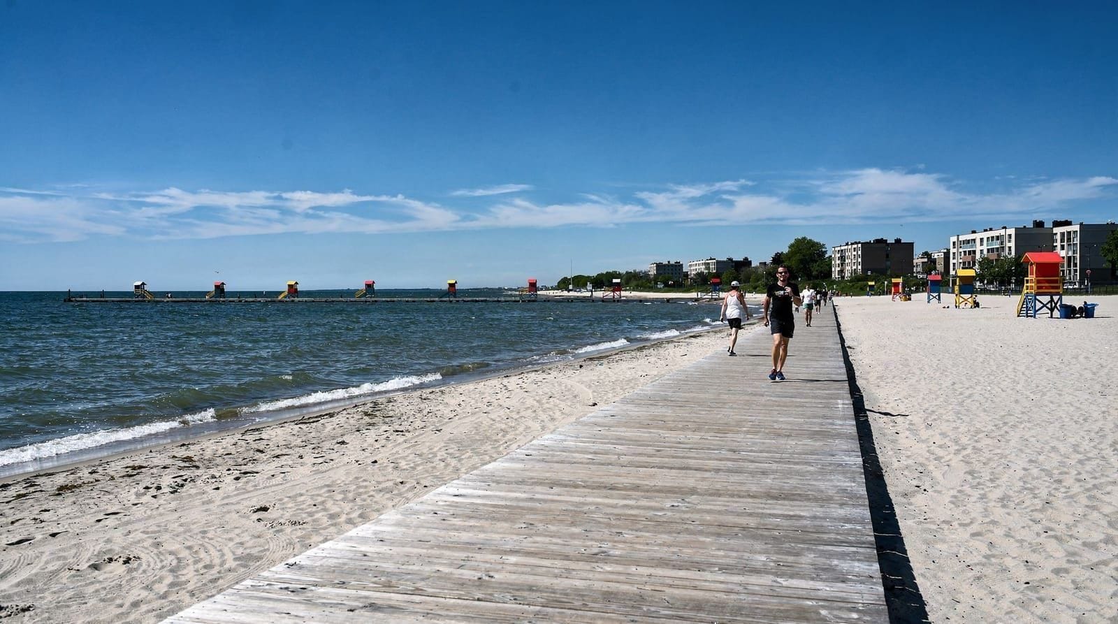
Bluffer’s Park, at the base of the bluffs, is the most developed and accessible entry point — a marina, a sandy beach, walking trails, and parking, all sitting at lake level looking up at the cliff faces rather than down from above. This is the easiest way to experience the bluffs for most visitors, particularly anyone without a car, since it’s the access point best served by public transit. The beach here is quieter and less crowded than The Beaches neighbourhood further west, partly because it’s less centrally located and partly because it’s simply less well known to visitors.
Clifftop viewpoints
For the classic postcard view — looking along the cliff face rather than up at it — several clifftop parks including Cathedral Bluffs Park and Scarborough Bluffs Park offer elevated viewpoints. These are the spots you’ll see in most photography of the bluffs, and they’re free, unstaffed parks accessible by car or a longer transit-plus-walk combination. Stick to marked trails and viewing areas here specifically — the erosion that shapes the cliffs also makes the actual edge genuinely unstable in spots, and there have been real incidents from people venturing past barriers for a photo.
Sunrise over the lake
Because the bluffs face east across Lake Ontario, they’re one of the better sunrise spots in the city, and photographers make the early trip specifically for that light — the cliffs catch a warm glow that’s markedly different from a midday visit. This does mean an early start and, outside of summer, a genuinely cold wait if you’re chasing a winter sunrise, but it’s a reliably rewarded effort for anyone serious about photography.
Hiking the bluffs
A network of trails connects several of the clifftop parks, offering a longer hiking option beyond a single viewpoint stop — the full stretch isn’t a single continuous public trail the entire 15 kilometres, so plan a specific route between named parks (Bluffer’s Park, Cathedral Bluffs, and Scarborough Bluffs Park being the main connected points) rather than assuming a start-to-finish walk is straightforward. Trail conditions vary with weather and recent erosion activity, so check current conditions if you’re planning a longer hike rather than a short viewpoint visit.
The geology in more depth
The bluffs are made up of distinct, visibly striped sediment layers deposited during multiple glacial periods over roughly the last 12,000 years, making them a genuinely significant site for geologists studying the region’s Ice Age history — the layering is visible to the naked eye from the beach at Bluffer’s Park, appearing as horizontal bands of varying colour and texture running the height of the cliff face. This same layered composition is what makes the cliffs prone to ongoing erosion, since some layers are considerably softer and more easily washed away by wave action and rain than others, gradually reshaping the cliff profile over time in ways that are noticeable across just a few years in some sections.
Wildlife along the shoreline
Beyond the geology, the bluffs support a surprising amount of wildlife for a spot inside city limits — bank swallows nest in colonies along the exposed cliff face during breeding season, and the mix of shoreline, cliff, and woodland habitat draws songbirds, hawks, and the occasional deer sighting in the quieter clifftop parks. Birders visiting specifically for the swallow colonies should keep well back from the nesting cliffs regardless of how tempting a closer photo might be, since disturbance during breeding season can cause the colony to abandon a site.
Guildwood Park, a nearby detour
A short drive or transit ride from Bluffer’s Park, Guildwood Park (also known as the Guild Inn Estate) sits atop its own stretch of bluff and is worth combining with a bluffs visit if you have extra time. The park holds an unusual open-air collection of architectural fragments — columns, facades, and ornamental stonework salvaged from demolished historic Toronto buildings through the mid-20th century, arranged throughout the grounds almost like an accidental sculpture garden. It’s free to visit and offers its own clifftop lake views, distinct in character from Bluffer’s Park’s beach-level perspective.
Getting there without a car
The bluffs sit further from downtown than most of the city’s other destinations, which keeps crowds meaningfully lower than more central options but does require more transit planning. The Scarborough GO line and several TTC bus routes connect from downtown, though reaching Bluffer’s Park specifically typically means a bus transfer from the nearest GO or subway station followed by a walk downhill to the park — budget more travel time than you would for a downtown destination, and check current route options before setting out, since bus service to the park itself can be less frequent than core-city transit. Driving is genuinely the more convenient option if you have access to a car, given the park’s distance from the subway network.
Best time to visit
Summer (June-September) is when Bluffer’s Park’s beach sees the most use, and warm weather makes the longer trip from downtown feel more worthwhile. Fall brings strong colour to the trees along the clifftop trails and generally clearer air for photography, arguably the best season for the classic cliff-face shot. Winter strips back the accessible trail network somewhat and the beach empties out, but a snow-dusted bluff face under a clear sky has its own stark appeal for anyone willing to make the trip in the cold.
Comparing the bluffs to other Toronto viewpoints
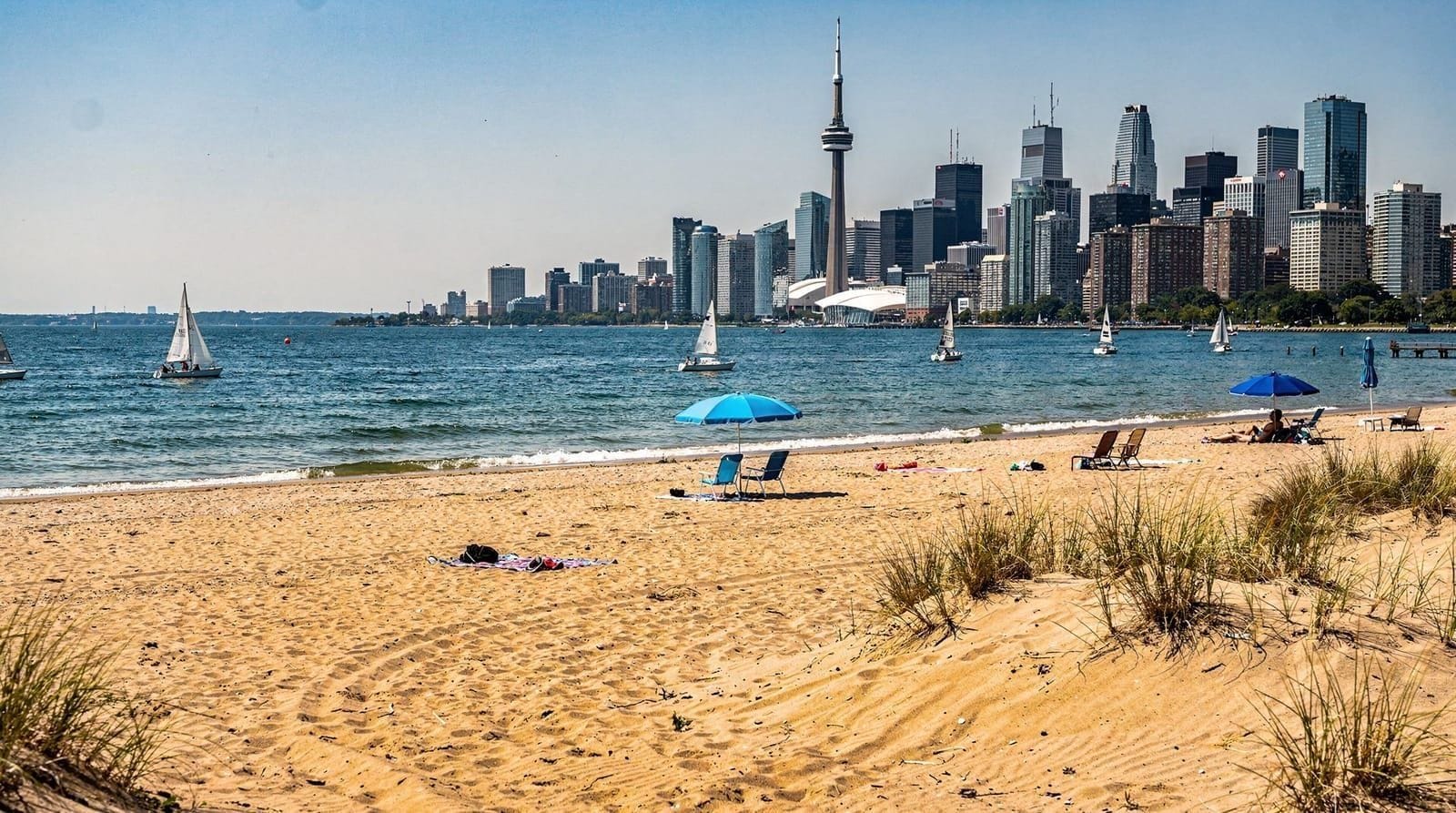
Visitors who’ve already seen the CN Tower’s observation deck or the skyline view from Toronto Islands sometimes assume the bluffs offer a similar, if smaller, version of the same experience. It’s a genuinely different kind of view — natural rather than architectural, oriented along the shoreline rather than back toward the skyline — and worth treating as a distinct destination rather than a lesser alternative to the more famous viewpoints closer to downtown.
Accessibility
Bluffer’s Park itself is reasonably accessible, with paved paths near the marina and beach, though the clifftop viewpoint parks involve more uneven, natural terrain and, in several spots, stairs down to lower viewing areas. Anyone with mobility concerns should prioritize Bluffer’s Park over the clifftop parks, which weren’t built with the same accessibility standards given their more rugged, natural setting.
Practical tips
Respect the posted barriers and warning signs at clifftop viewpoints — the erosion is real and ongoing, and this isn’t a spot where the safety guidance is overly cautious for its own sake. Bring water and check the weather before a longer hike, since shade is limited along most of the clifftop trail sections. If you’re coming specifically for sunrise photography, check the sunrise time and plan your transit or drive accordingly, since public transit options run less frequently in the very early morning hours.
Why the bluffs stayed undeveloped
Given how much of Toronto’s waterfront has been built up over the past century, it’s worth understanding why the Scarborough Bluffs largely escaped the same fate — the cliffs’ active erosion and instability made large-scale development genuinely impractical and hazardous for most of the 20th century, and by the time engineering might have made building along the clifftop more feasible, conservation-minded planning had already prioritized protecting the bluffs as public parkland.
This combination of natural hazard and deliberate policy is part of why the bluffs remain one of the few large stretches of undeveloped natural shoreline within city limits, rather than being lined with condominiums the way much of the rest of the Toronto waterfront has become.
Combining a bluffs visit with the wider east end
Given the distance from downtown, most visitors treat the Scarborough Bluffs as a dedicated half-day or full-day excursion rather than folding it into a broader itinerary the way you might combine The Beaches with Leslieville. If you have a car for the day, it’s reasonable to combine a bluffs visit with other Scarborough-area stops, but public-transit visitors should budget the trip as a standalone outing given the travel time involved in each direction.
What to bring for a proper visit
Sturdy walking shoes matter more here than at most other Toronto destinations, given the mix of beach, unpaved trail, and stairs across the various access points. A light jacket is worth packing even in summer, since the lakefront wind at the base of the cliffs tends to run noticeably cooler than inland. A camera with a reasonably wide lens will serve you better than a phone alone if capturing the full scale of the cliff face is a priority.
A final word on managing the trip
Given the travel time involved, it’s worth treating a Scarborough Bluffs visit as a deliberate, planned excursion rather than a casual add-on to a busy downtown day. Visitors who budget the time properly — and arrive with realistic expectations about the transit journey — consistently rate it among the more rewarding, less crowded experiences available within city limits, precisely because the distance keeps the crowds down relative to more central attractions.
Comparing the bluffs to Toronto’s other free green spaces
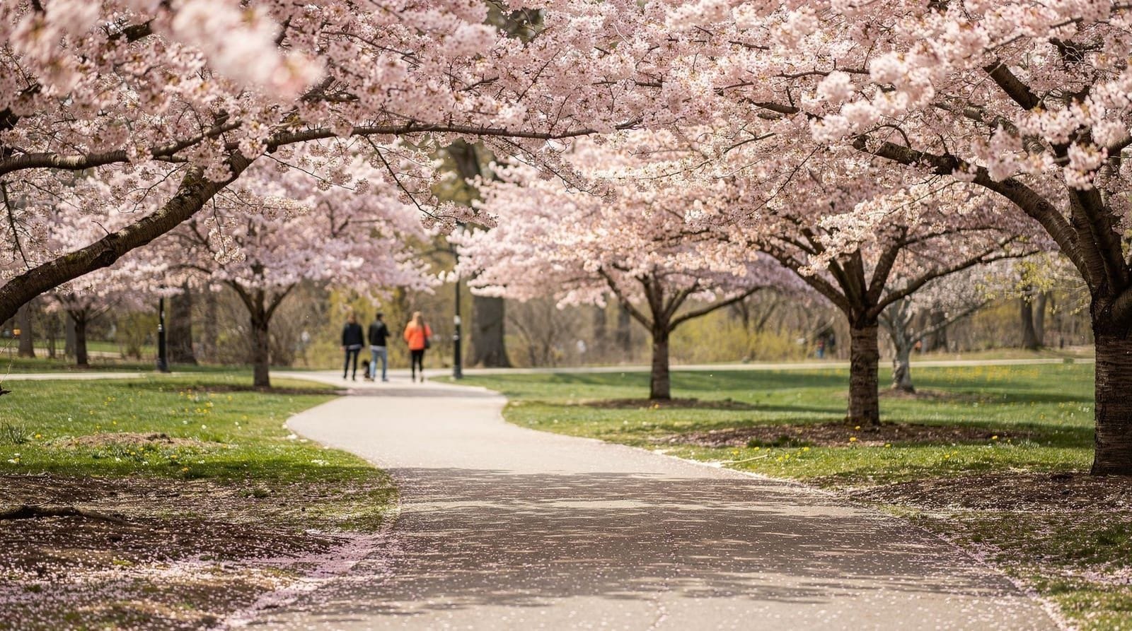
Anyone building a nature-focused day in Toronto without a big budget will find the bluffs sit naturally alongside High Park and the city’s ravine network on any shortlist of the best free outdoor experiences — the free things to do in Toronto guide rounds up the fuller list if you’re stacking several spots into one trip. Where High Park offers woodland trails and cherry blossoms closer to downtown, the bluffs trade convenience for scale and a genuinely different, water-and-cliff landscape you won’t find anywhere else in the city.
Food and facilities near the bluffs
Don’t expect a dense restaurant scene at the bluffs themselves — Bluffer’s Park has a modest marina-side café and concession options, but nothing approaching the food density of a downtown neighbourhood. Most visitors either pack their own food for a picnic or plan to eat before or after the visit back in a more central part of the city, treating the bluffs as a nature-and-views excursion rather than a food-and-culture stop.
Frequently asked questions about the Scarborough Bluffs
How do I get to the Scarborough Bluffs without a car?
A combination of the Scarborough GO line or TTC subway plus a bus transfer gets you to the area, followed by a walk to Bluffer’s Park specifically. Budget more travel time than for a downtown destination, and check current routes before setting out.
Is Bluffer’s Park good for swimming?
Yes, it has a sandy beach on Lake Ontario, generally quieter than the beaches in The Beaches neighbourhood. Check current water quality advisories before swimming.
Are the Scarborough Bluffs safe to visit?
Yes, when you stick to marked trails and viewing areas. The clifftop edges themselves are subject to ongoing erosion and are genuinely unstable in unmarked spots — stay behind posted barriers.
What’s the best time of day to photograph the Scarborough Bluffs?
Sunrise, since the bluffs face east across Lake Ontario and catch particularly good light in the early morning hours.
How long does it take to visit the Scarborough Bluffs from downtown?
Plan for roughly 45-75 minutes each way by public transit depending on the specific access point and connections, or about 30-40 minutes by car outside of rush hour.
Can I hike the entire 15km of the bluffs in one trail?
Not as a single continuous public trail — the bluffs span several connected but distinct parks (Bluffer’s Park, Cathedral Bluffs, Scarborough Bluffs Park), so plan a specific route between named access points rather than assuming one continuous path.
Is the Scarborough Bluffs worth it compared to High Park?
They’re different kinds of visits rather than direct competitors — High Park is closer to downtown with woodland trails and cherry blossoms, while the bluffs trade convenience for a dramatic lakefront cliff landscape unlike anything else in the city. Both are free and worth doing on separate trips if time allows.
Is there an entrance fee for the Scarborough Bluffs?
No, the bluffs and their parks are free to access; the only cost most visitors encounter is parking at Bluffer’s Park during busier periods.